
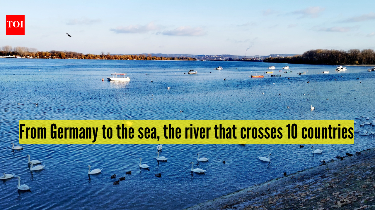
The river has its quiet beginnings in Germany’s Black Forest, when then makes its final spread into the Black Sea. It follows a course unlike any other river on the planet. Do note this interesting fact that along the way, it passes through 10 countries, more than any river in the world, thereby turning a single flow of water into a continental connector that links Central and Eastern Europe. It’s the Danube River. No other river matches the Danube’s geographic reach. Its waters run through countries like Germany, Austria, Slovakia, Hungary, Croatia, Serbia, Bulgaria, Romania, Moldova, and Ukraine, cutting across borders that were drawn centuries after the river itself had already shaped the land. Over a length of about 2,860 km, the Danube becomes less a national river and more a shared European river, binding regions with distinct languages, cultures, and political histories.Read more: Solar storm lit up Ladakh skies: What triggered the rare sky event and what it meansThe river takes form at Donaueschingen, where two modest streams, the Breg and the Brigach, come together. From there, it flows eastward, winding through forests, agricultural plains, narrow valleys, and some of Europe’s most historically important cities. Uniquely, it is the only major river in the world to pass through four national capitals: Vienna, Bratislava, Budapest, and Belgrade. Each of these cities developed around the Danube, drawing economic strength, strategic advantage, and cultural identity from its steady presence. For much of history, the Danube stood at the centre of power and conflict. Historically, it served as the boundary of the Roman Empire in the north, which was fortified and protected as a defense line and a transportation route. Later on, it served as a line that divided and connected the empires of Habsburg and Ottoman, with the construction of castles, citadels, and river towns along its banks. These still line the river today. As Europe began to develop as a modern state, the Danube River transformed from a disputed border region into a common economic route. Agreements existed by the early modern period that regulated river navigation and trade, making it easier for the transportation of goods across international boundaries along the river. Such cooperation was formalized in the aftermath of the Second World War with the creation of the Danube Commission. Read more: How this village in Assam ended its war with elephants and made them their ‘guests’However, the effects of the river do not end there. The Danube Basin has a land area of about 817,000 square kilometers and derives its water from the Alps, Carpathian Mountains, and lowlands. The Danube River has over 300 tributaries, with some of the largest being the Drava, Sava, and Tisza rivers. This has resulted in a varied landscape that is composed of gorges, agricultural areas, and wetlands. At its eastern end, the river fans out into the Danube Delta, shared by Romania and Ukraine. Formed by centuries of sediment carried into the Black Sea, the delta is one of Europe’s most important ecological regions, supporting hundreds of bird and fish species and recognised internationally for its biodiversity. Today, the Danube remains a working river. The Main–Danube Canal links it to the Rhine, creating an inland waterway that allows vessels to travel from the North Sea to the Black Sea without interruption. Hydroelectric projects, including the Iron Gate dams, harness its energy, while environmental programmes attempt to balance economic use with conservation as pollution and climate pressures grow. Flowing across more borders than any other river, the Danube continues to serve as a physical and symbolic link across Europe, a reminder that long before modern nations existed, it was the link that was already connecting them.